

Aerial Survey Solutions
We manage the entire aerial survey project from planning to execution and final delivery of your survey grade data.
We are licensed to offer aerial survey services using full sized aircraft as well as RPAS (Drones).
Premier Aviation holds an Air Operator Certificate (AOC) for manned aerial surveys and an RPAS Operator Certificate (ROC) for RPAS Aerial Photography, Surveys and Industrial Inspections.
AERIAL SURVEY SOLUTIONS
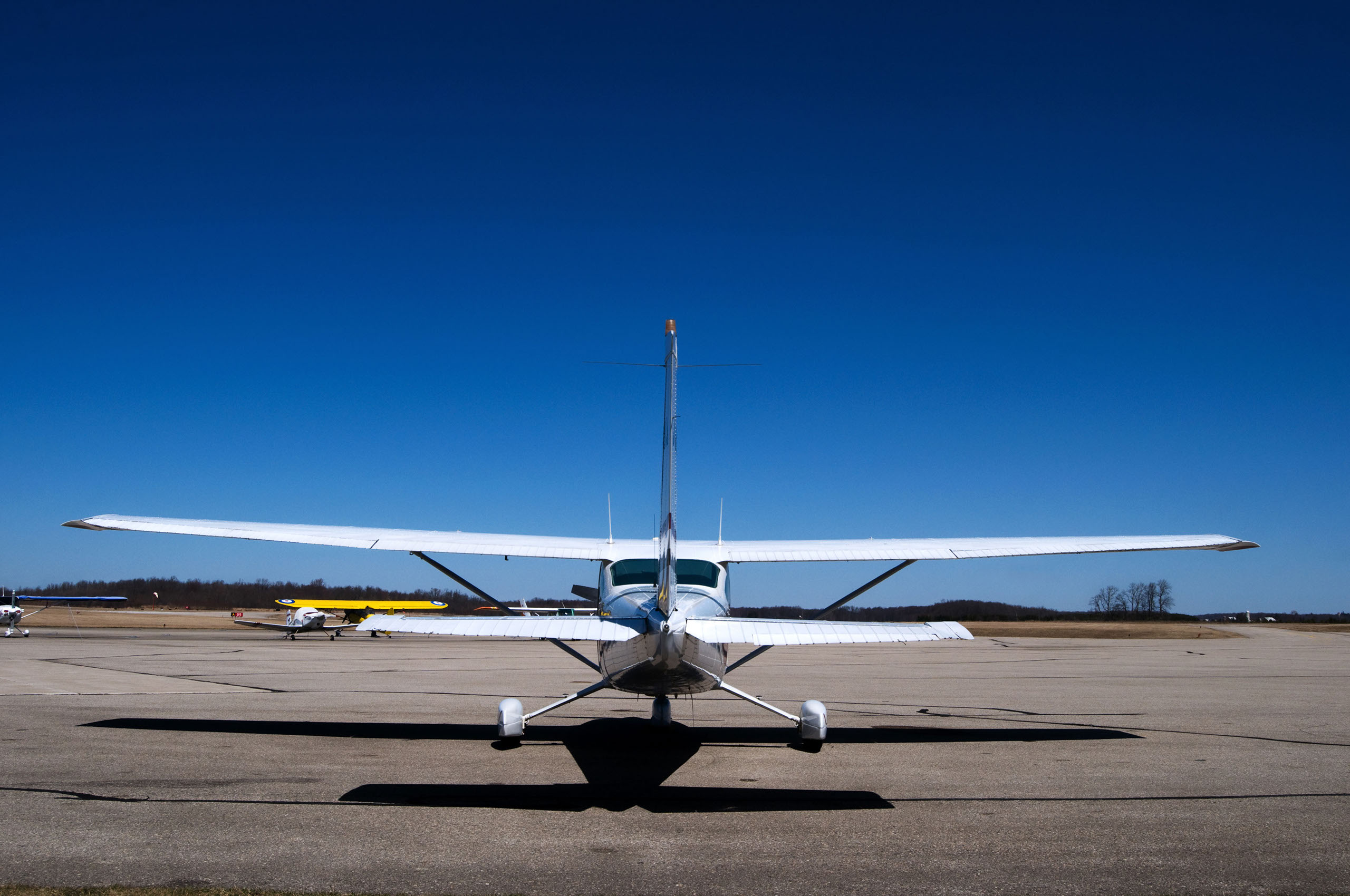
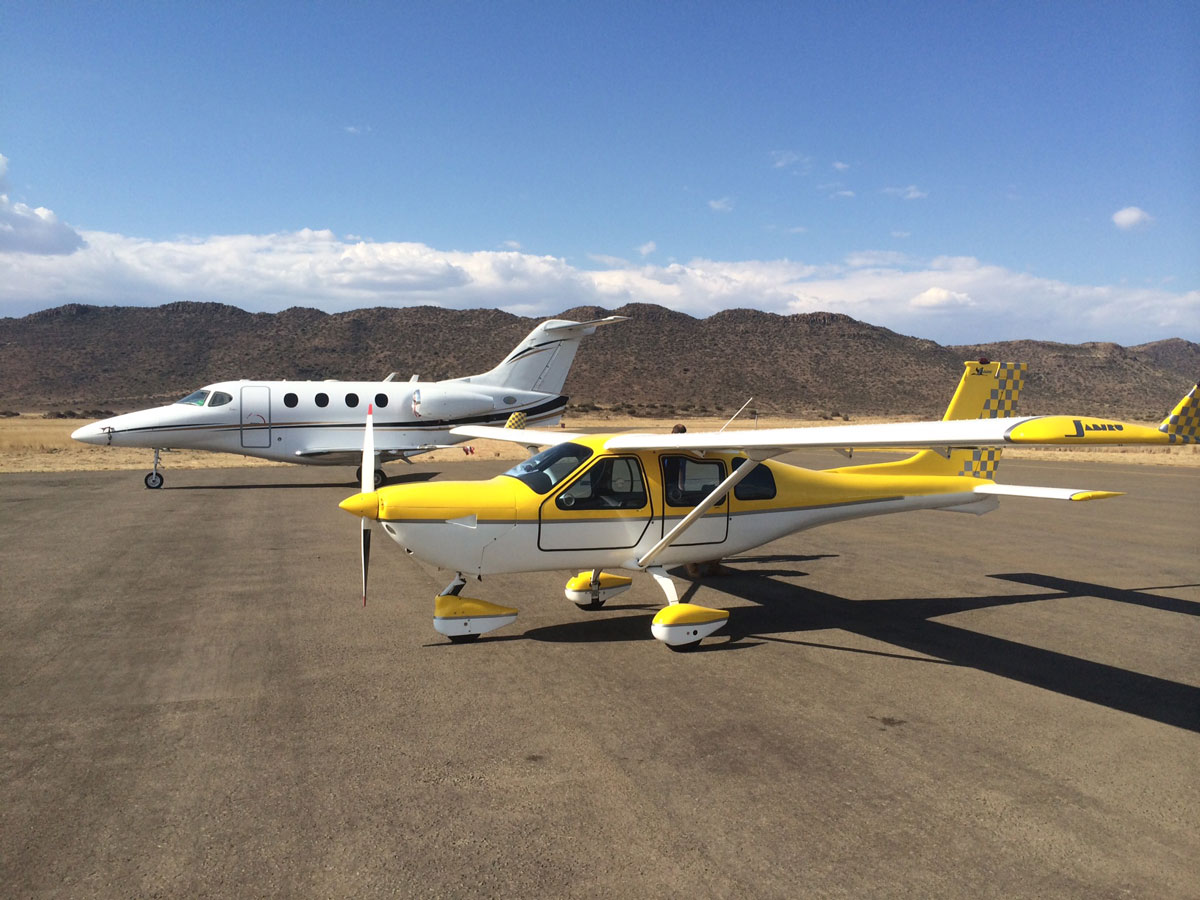
Large Platform
Light aircraft fitted with a Large Format Digital Camera (Metric).
Best suited for large project areas (3,000Ha and larger):
• Surveys for Line Mapping
• Creation of very accurate DTM
• Aerial Survey of mega open pits
• Short survey flight time delivering a
good time stamp for reconciliations –
able to get a timestamp of the whole
raw material chain
• Great mobility enables us to survey
many different sites on a day
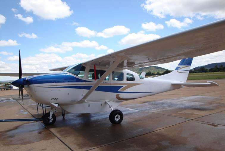
Medium Platform
Ultra light aircraft fitted with a Medium Format Digital Camera (Metric).
Best suited for medium project areas (50Ha to 3,000Ha):
• Stockpile Surveys
• Medium to Large Open Pits
• Short survey flight time delivering a good time stamp
for reconciliations – able to get a timestamp of the
whole raw material chain
• Great mobility enables us to survey many different
sites on a day
• Ideal for Monthly Orthophoto and DTM at low costs
with high accuracy and an external check
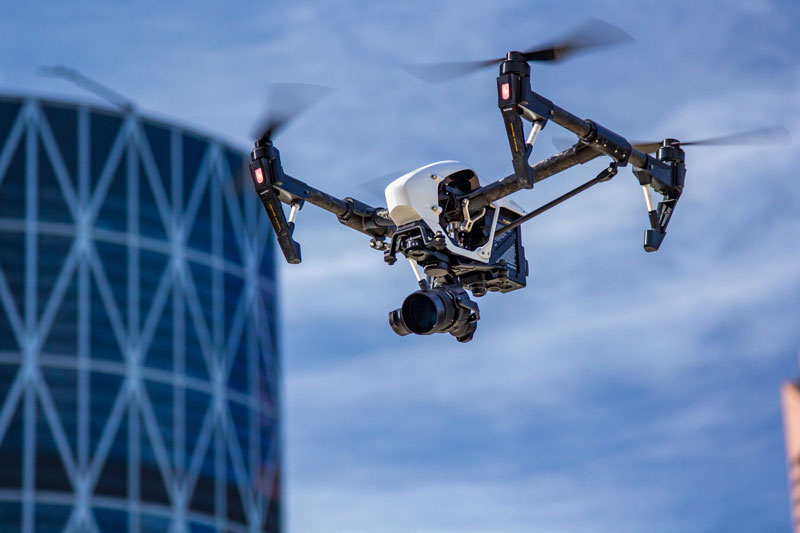
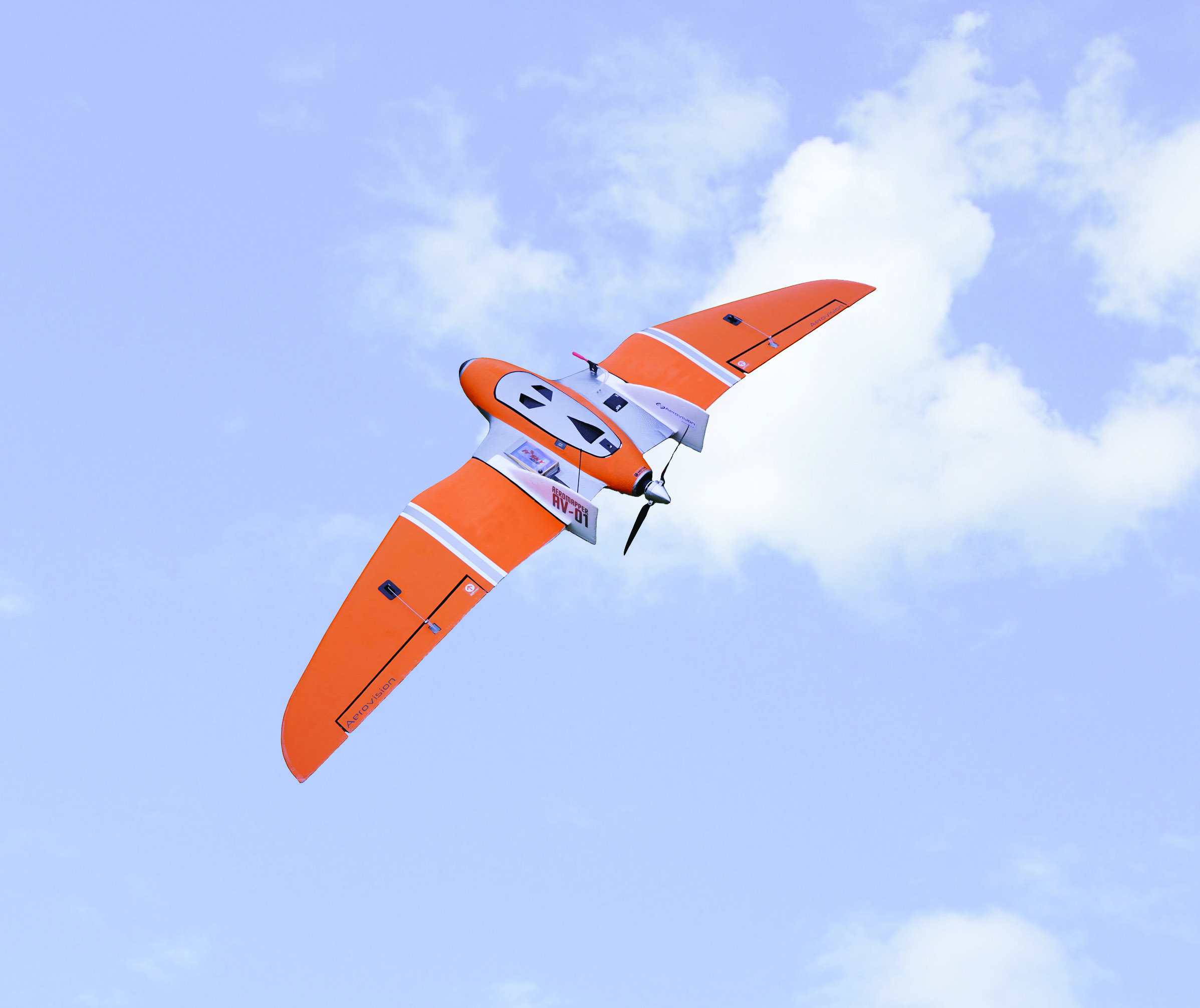
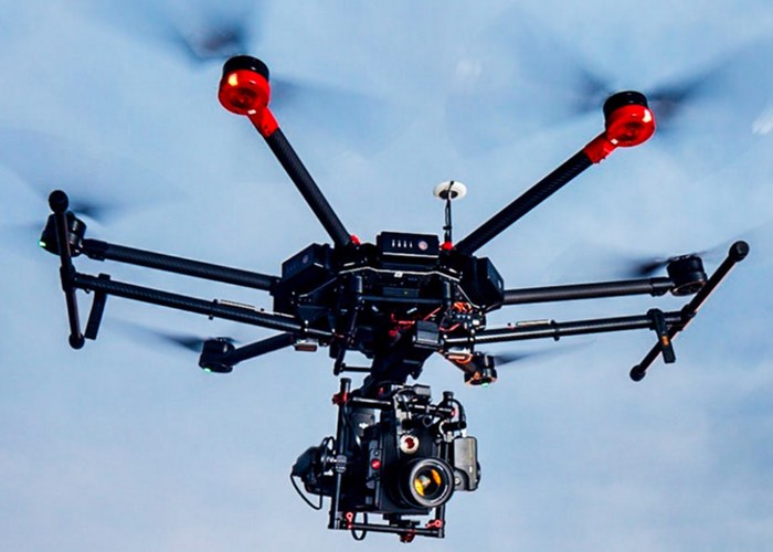
Small Platform
Remotely Piloted Aircraft System (RPAS) fitted with a Digital Camera (Non-Metric).
Best suited for smaller project areas up to 300Ha per day:
• Surveying: Contour Mapping & Stockpile Volumetric
Surveys
• Mining: Mini Pit Orthophoto, DTM & Volumetric
Surveys
• Inspections: Buildings, Towers, Wind Turbines and
Solar Farms (Thermal Surveys)
• Construction: Monthly Aerial Photography for progress
reporting, Oblique photography and Aerial Video
© Premier Mapping 2015